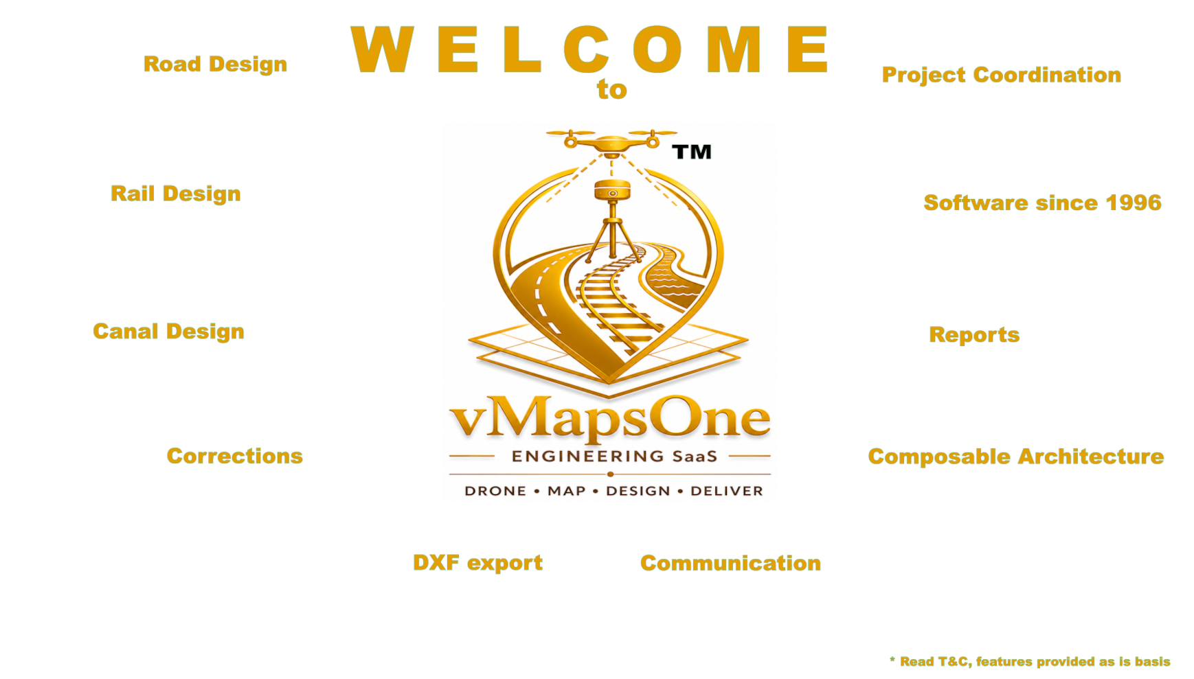
MARCH TOWARDS EXCELLENCE
Our offerings are provided on an as-is basis, drawing upon our extensive experience and expertise in
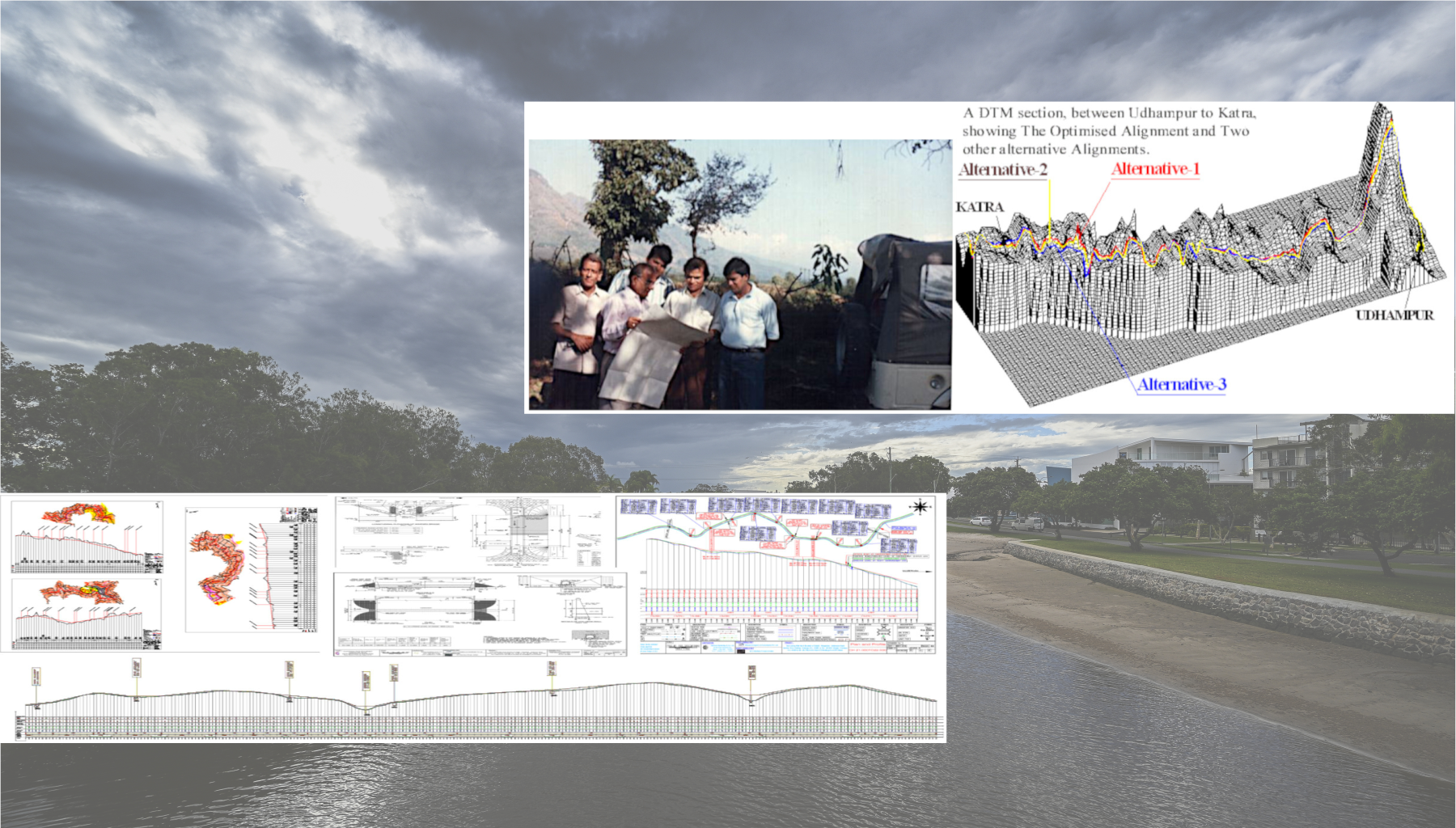
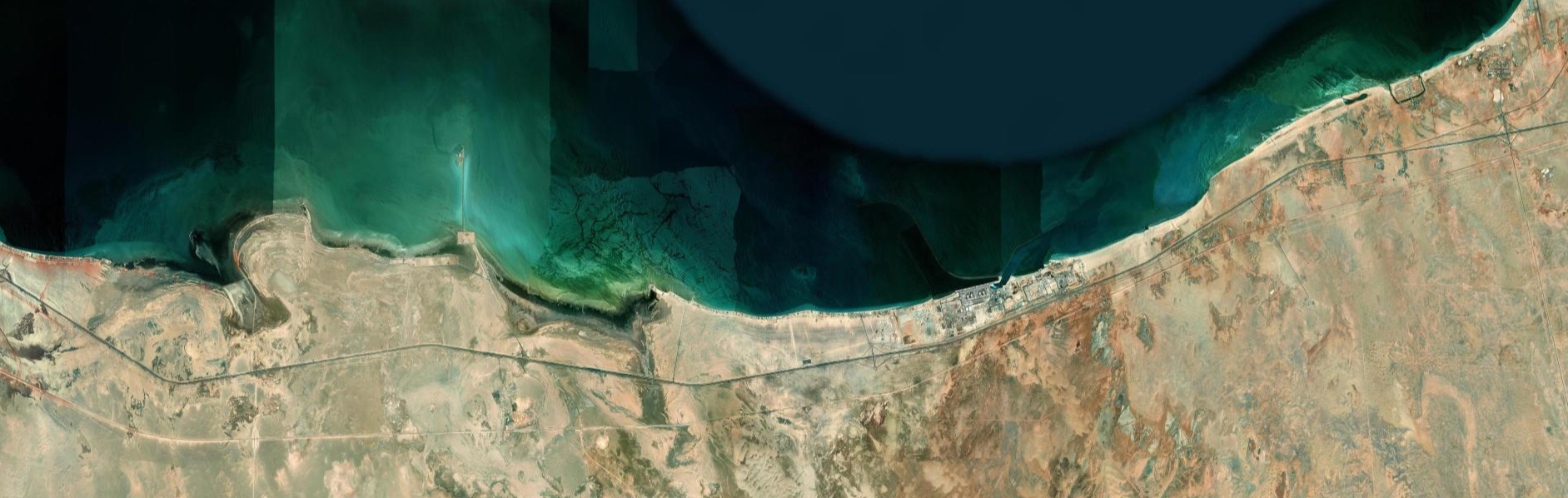
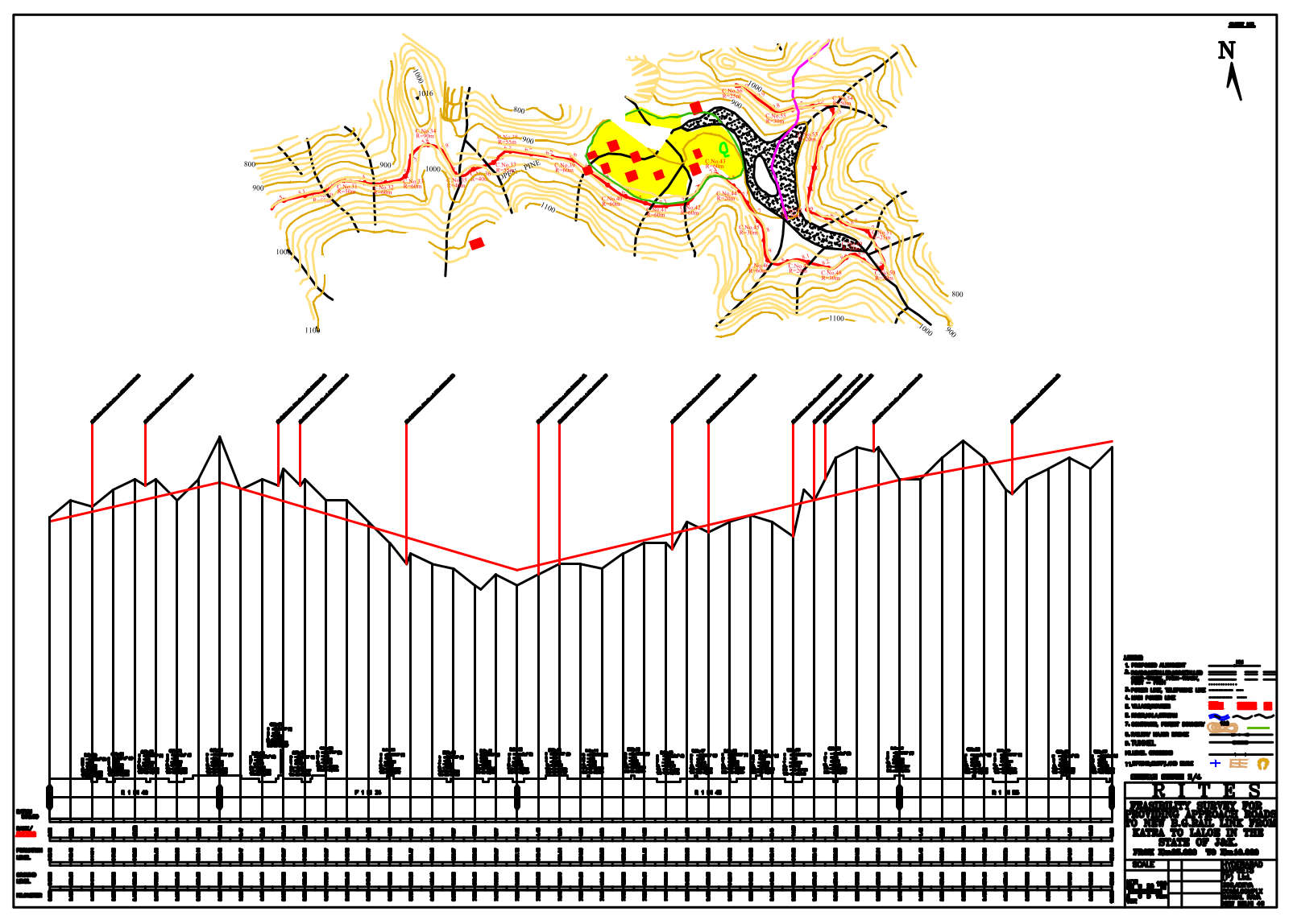
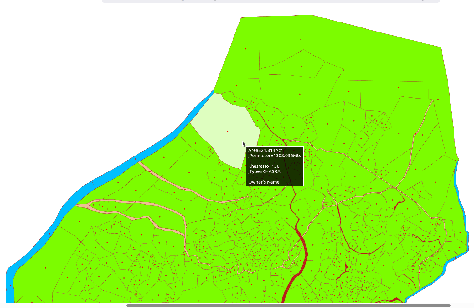
Detailed Project Reports (DPR), Topographic Surveys, Geospatial Mapping, and Engineering Design.
These services are purpose-built to enable a Quick Turnaround Time (TAT) — bridging the gap between
field teams and decision-makers, designers, and project stakeholders — making us an integral part of your
project management and design workflow.
Our underlying technology stack is optimized to support seamless usage of this
SaaS platform even in low-network and remote areas, designed to support reliable access even where it matters most.
The platform is fully responsive and cross-device compatible — accessible from a
mobile browser to a desktop workstation without compromise. As development progresses,
we will continuously expand and enhance our modules based on user suggestions,
field feedback, and evolving project requirements.
We invite you to explore our platform and be part of this journey.